Broome and the kimberley
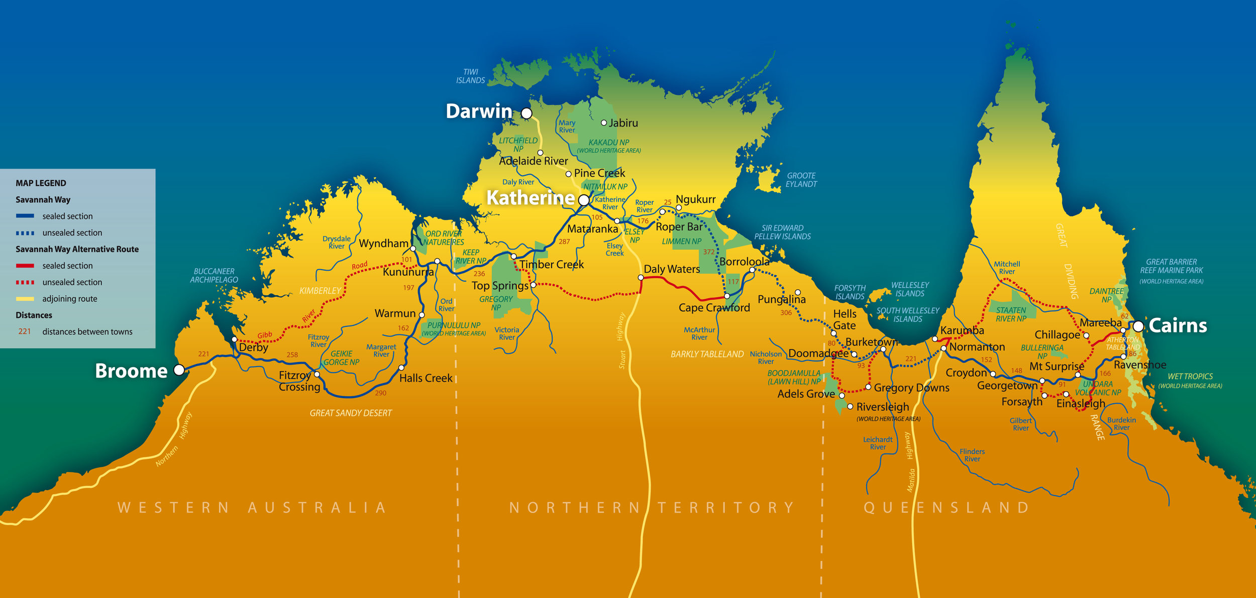
Kimberley Maps
“The Kimberley is nearly twice as big as Victoria! Make the most of our free map downloads, to help you plan your adventure through our wild and wondrous region!”
simple maps
further down the page
Further down the page is a selection of the local touring maps of the Kimberley people find helpful in positioning themselves and understanding just how big the Kimberley really is.
Detailed Kimberley Maps
Geosciences Australia has recently made all its maps available as free downloads. These are quite detailed maps. Here are the links:
For a free download of all the maps of the Kimberley in 1:1,000,000 scale (less detailed) - click here. (The maps SD50, SD51, SE50 and SE51 are the relevant maps).
For are free download of all the maps of the Kimberley in 1:250,000 scale (somewhat detailed) - click here.
For free downloads of all the maps of the Kimberley region in 1:100,000 scale (quite detailed) - click here.
For free downloads of all the maps of the Kimberley region in 1:50,000 scale (very detailed), click here.
For each, you’ll be directed to a map of Australia, from which you can choose a region and download the relevant maps. Some a quite detailed (the 1:50,000 scale maps are each roughly 300mb). You can click on the search icon in the corner of the main map and search for an address to locate the map you are after.
Exploring the Kimberley? Get the only guide written by a local for travellers who aren’t tourists.
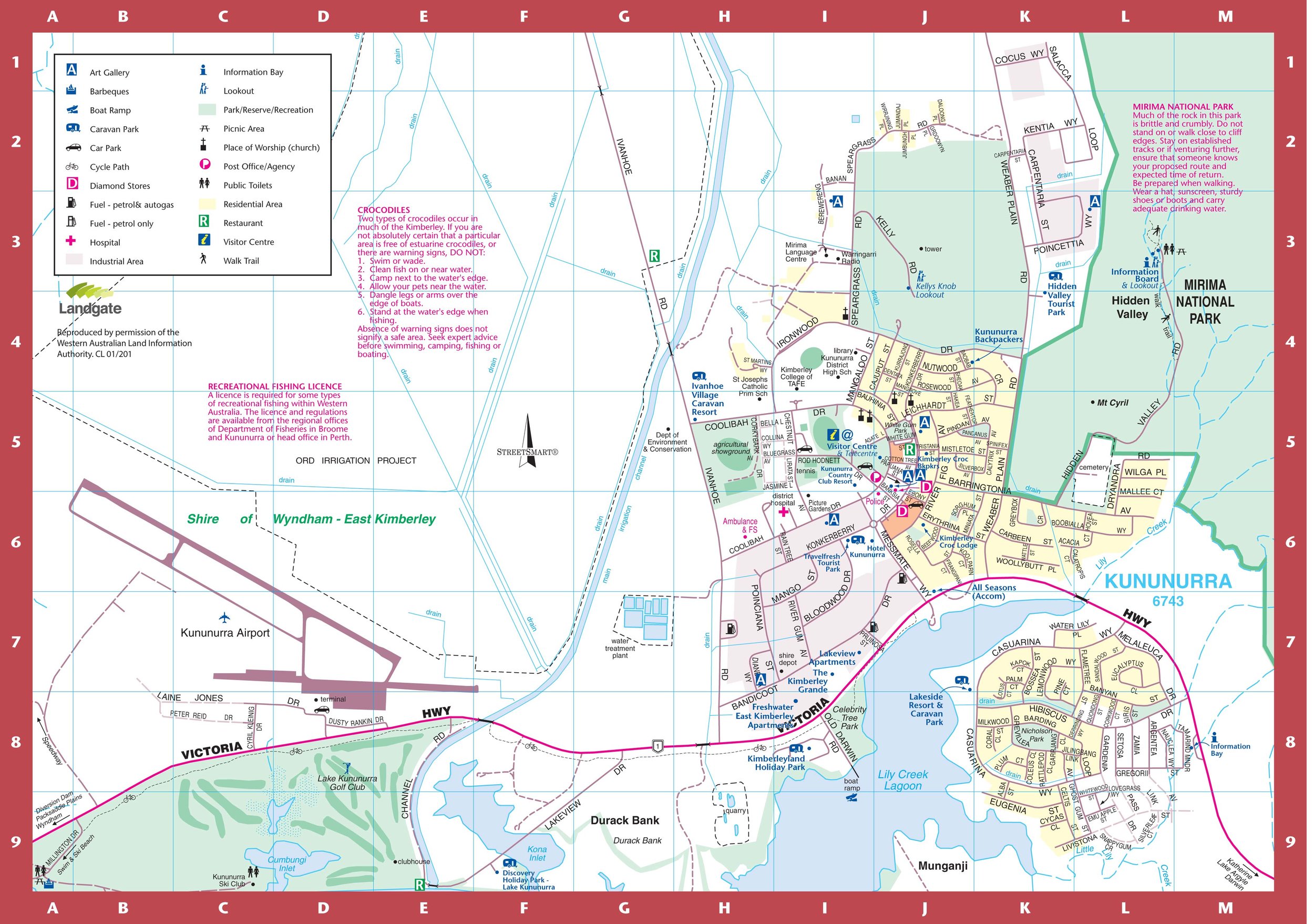
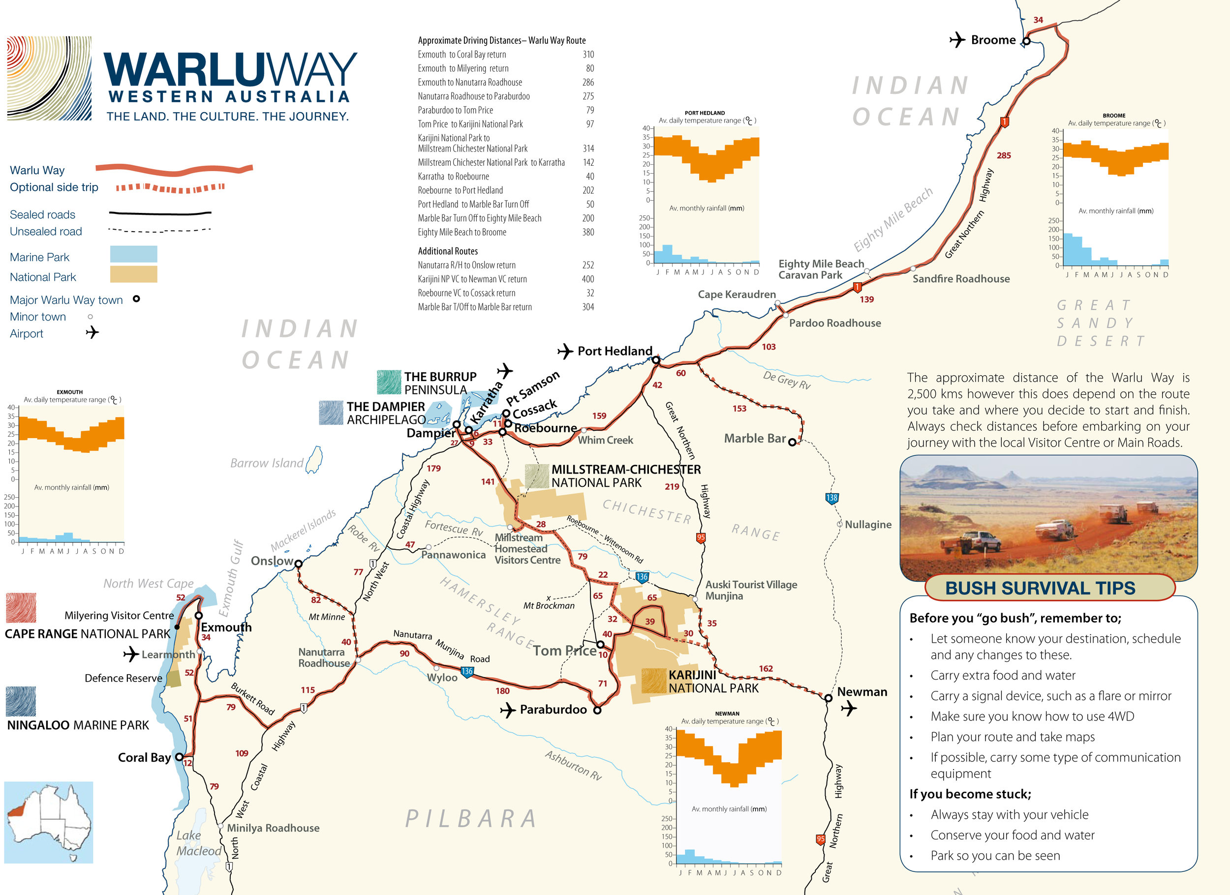
If you just want some more simple maps - find them all below.
Gibb River Road
Click on the image to download
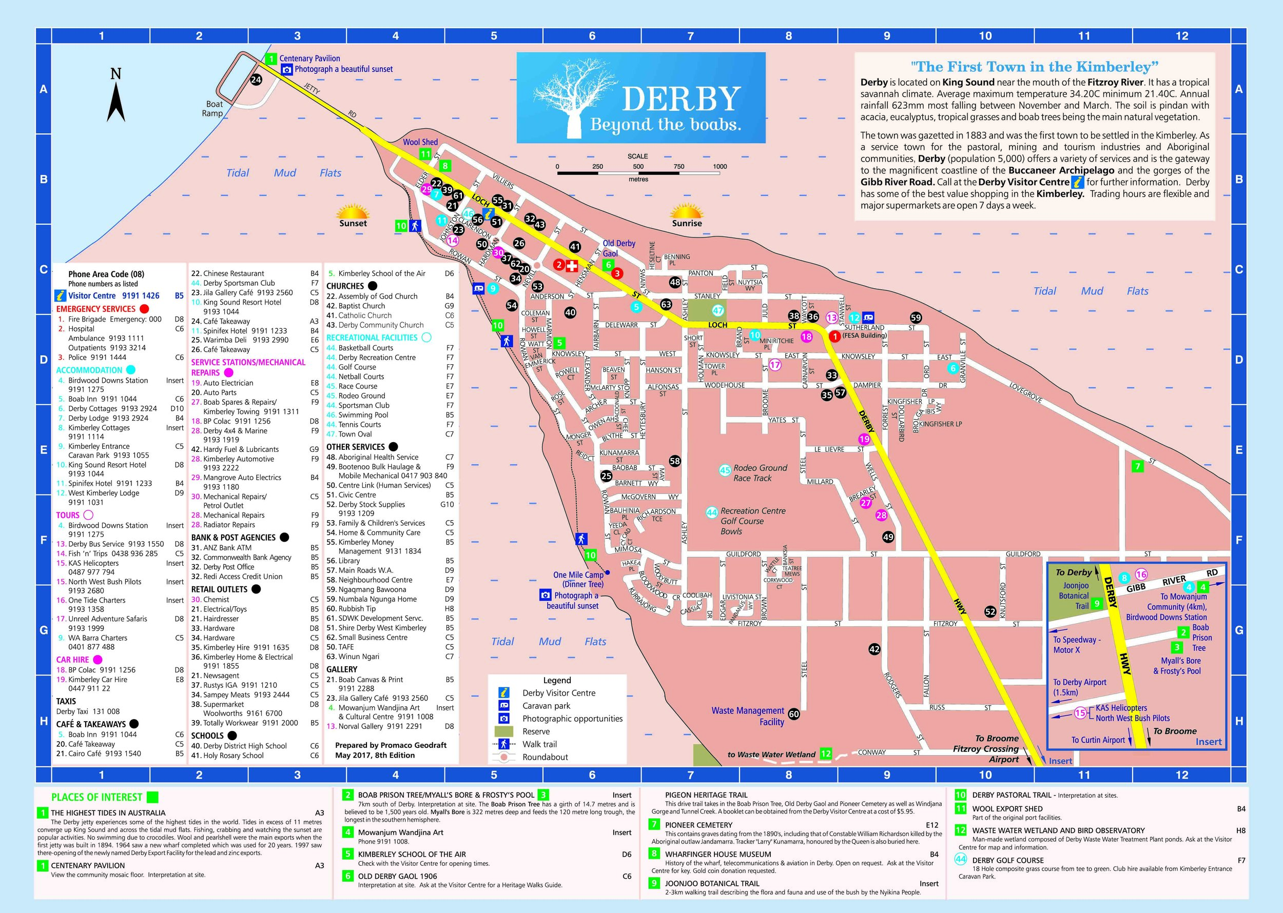
Derby
Click on the image to download


